A common question we ask ourselves at some project sites is:
Is this surficial soil either NATIVE or FILL?
It can be daunting to determine when the soil sample looks exactly like the surrounding soil. There's lots of observations we can contrast between the soil sample and the surrounding soil. I'd like to officially state the determination is important. Just because the soil material all looks alike doesn't mean we can just blow off looking for the subsurface boundary.
Here's why: we only get one chance to do our work right the first time.
Sure, maybe the soil all looks alike and may be it even behaves similarly. But if nearby soil has been moved into place where the soil boring is located, do your best to identify the presence of reworked or moved soil and it's bottom boundary.

Some reasons include:
1. Physical properties may be similar but will be different, every time.
2. Re-worked sediment may contain a different invisible chemistry or chemical constituent.
3. The boundary may prove valuable in a following boring or later work.
For soil that has been moved, re-worked, or piled, Midwest GeoSciences Group refers to it as "Quaternary Fill" on our soil boring log. We differentiate fill types based on their nature and content.
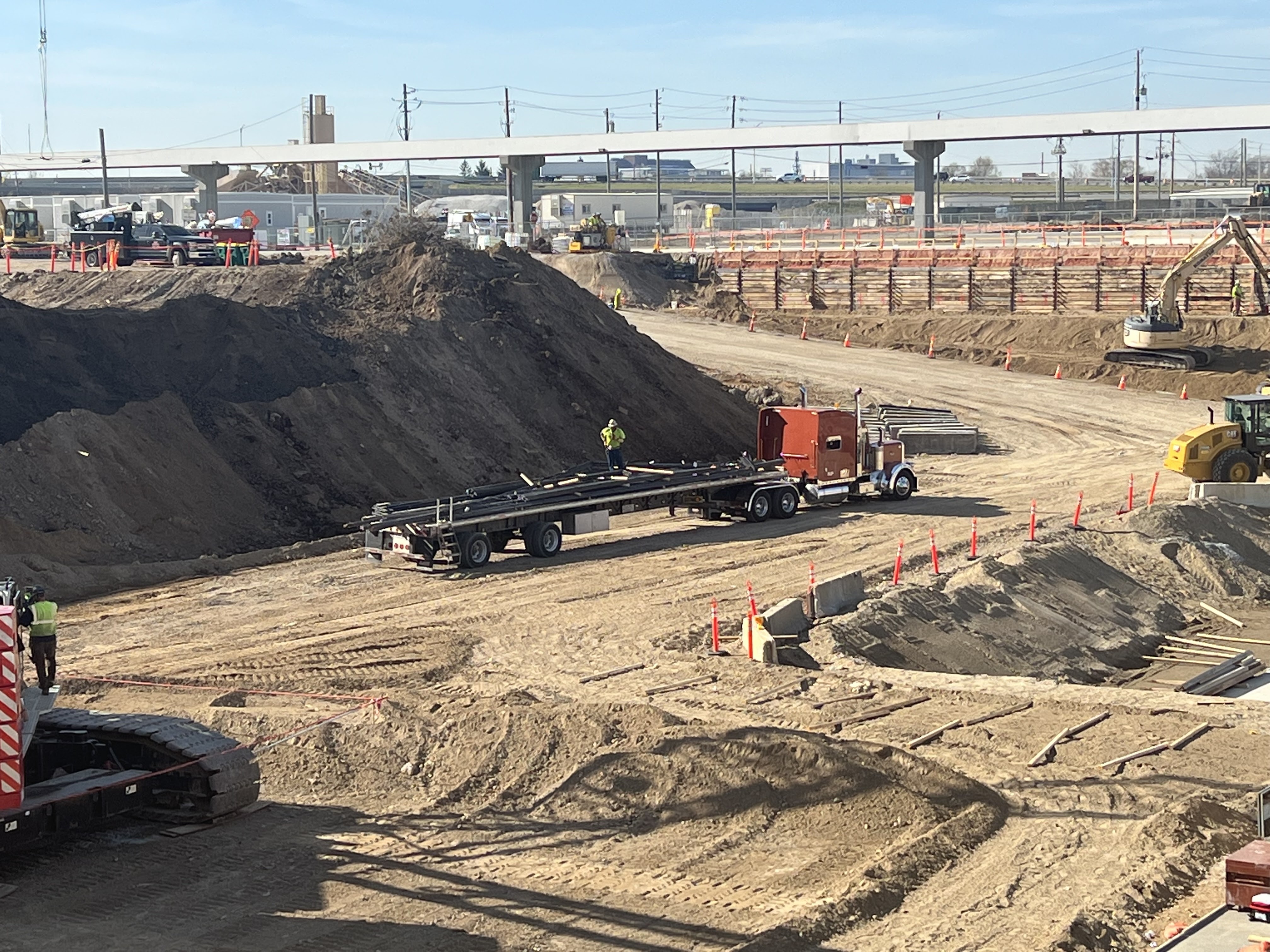
Here's some photos of a site that I recently assessed the near-surface sedimentary sequence to determine if it was moved or re-worked sediment. The variables to observe are few because the local depositional environment is an alluvium/colluvium mixture. So even the stratified re-worked soil appeared similar to the stratified water-lain soil. Scale differences of deposition are not a clear indicator and neither are color, soil classification, moisture content, associated sediments, or a measurable geotechnical property. Any of it could be native and in-situ when I see the soil sample perspective.


But luckily, this excavation was large and exposed a full 2D south sidewall. It allowed a visual inspection far, far beyond what a soil boring would reveal. So, stratification features and their positioning coupled with a subtle color change related to moisture revealed a boundary that would be nearly impossible from even a line of borings. I'll never know for sure if my hypothesis is perfect, but it's a working one for now.